← Back

TEAM
TIMELINE
TOOLS
Figma, Claude
IMPACT
“I once spent 40 minutes trying to find the exact section of a compost pile that needed attention..”
-John.R, Site Operator
Resulting in…
One feature had to solve three constraints at once
Accessibility for non-technical users
Tech Constraints
Avoiding costly hardware upgrades
I collaborated with our engineers to understand the best way to implement location mapping without compromising on the supportive experience

Showing rather than describing got alignment faster

Easy for existing clients to self-apply them in the field.
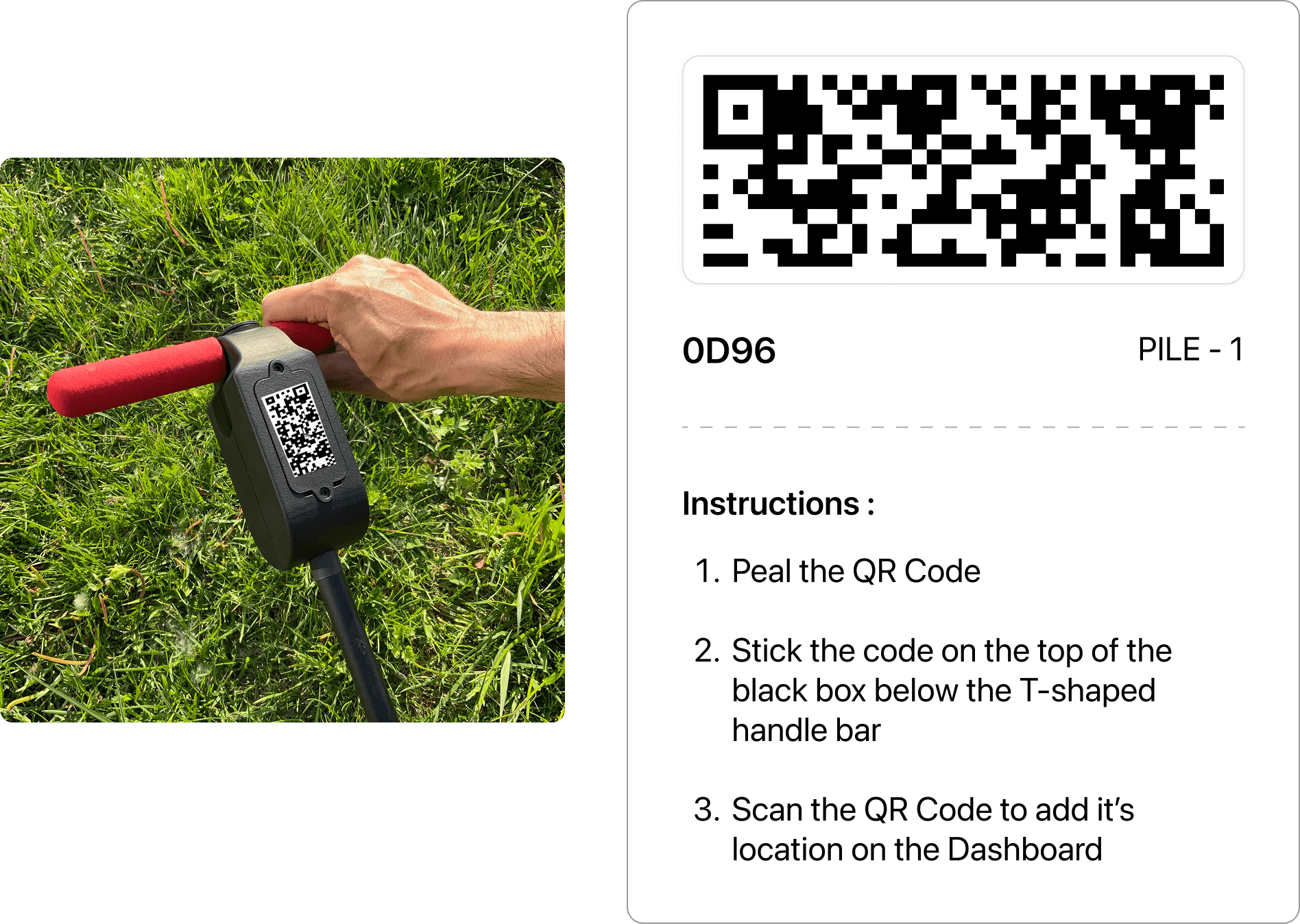
Users scan QR codes to assign each device a location name within their pile
Easy segregation of Devices by Pile
Clear split between device and data
Easy for existing clients to self-apply them in the field.
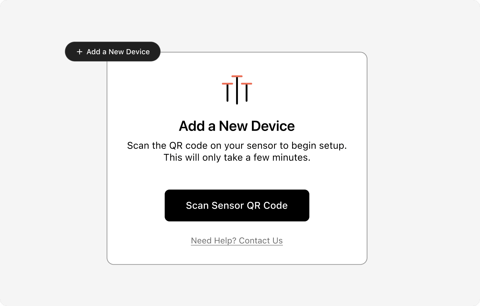
Pre-added QR codes - New clients add devices and assign locations during setup.
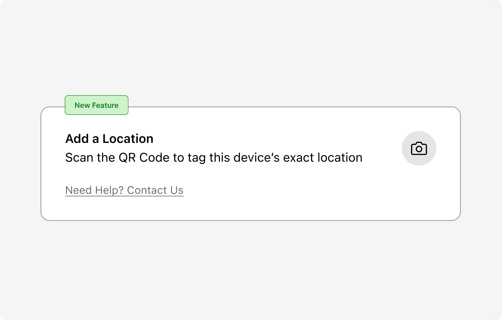
Existing clients tag their already-deployed sensors by adding + scanning the QR sticker in the field.
Easy for existing clients to self-apply them in the field.
Progressive Disclosure
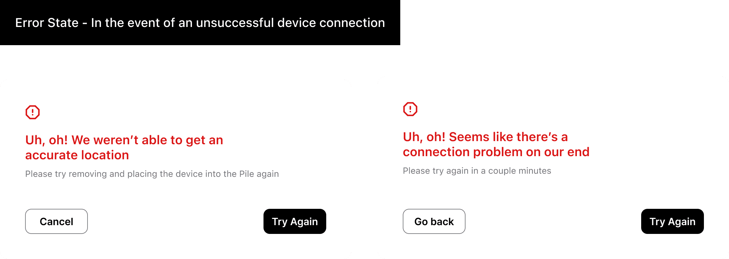
The goal wasn't to avoid failure; it was to make failure recoverable without calling support.
RESULTS
Validated through early user testing — watching operators complete the full physical flow without guidance.
40m -> 3m
Decision time to map trends
Compost reprocessing cost
56% Fewer
Manual sensor + Pile check-ins
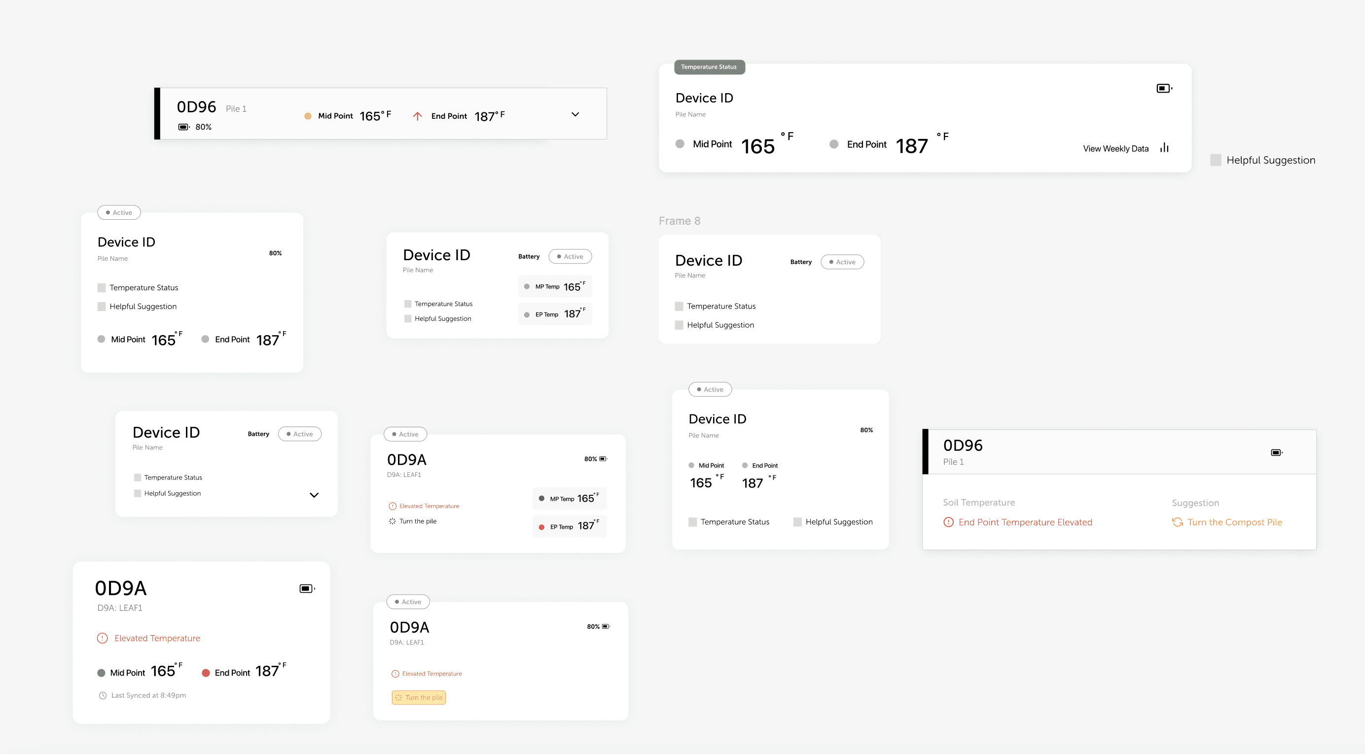
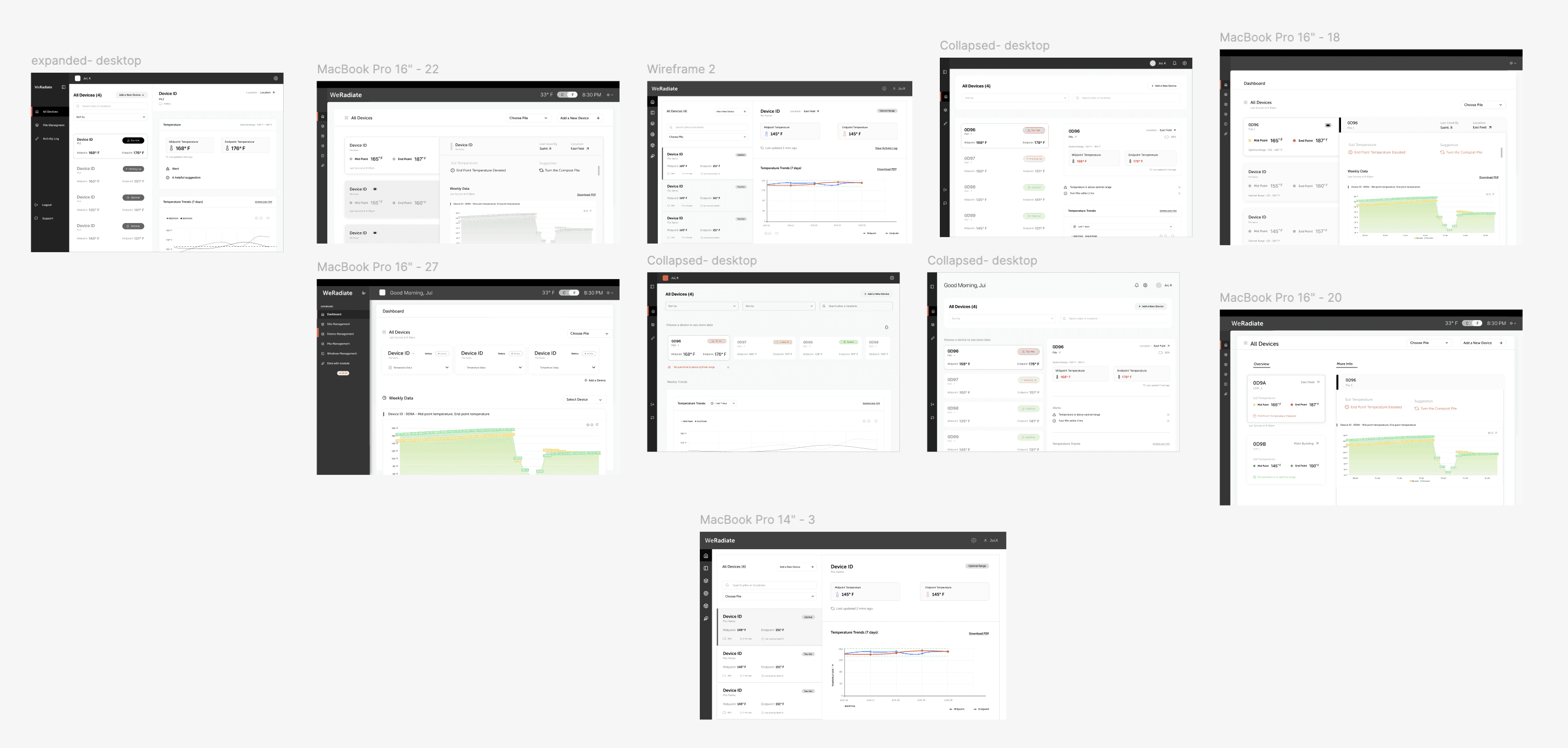
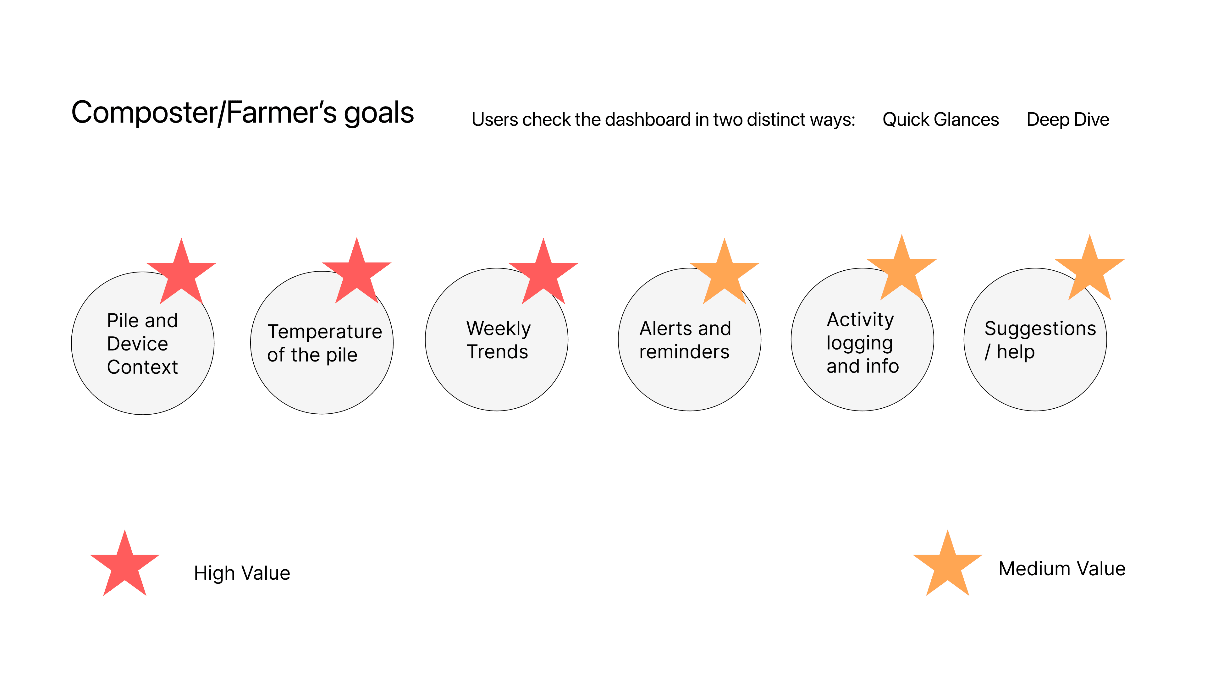
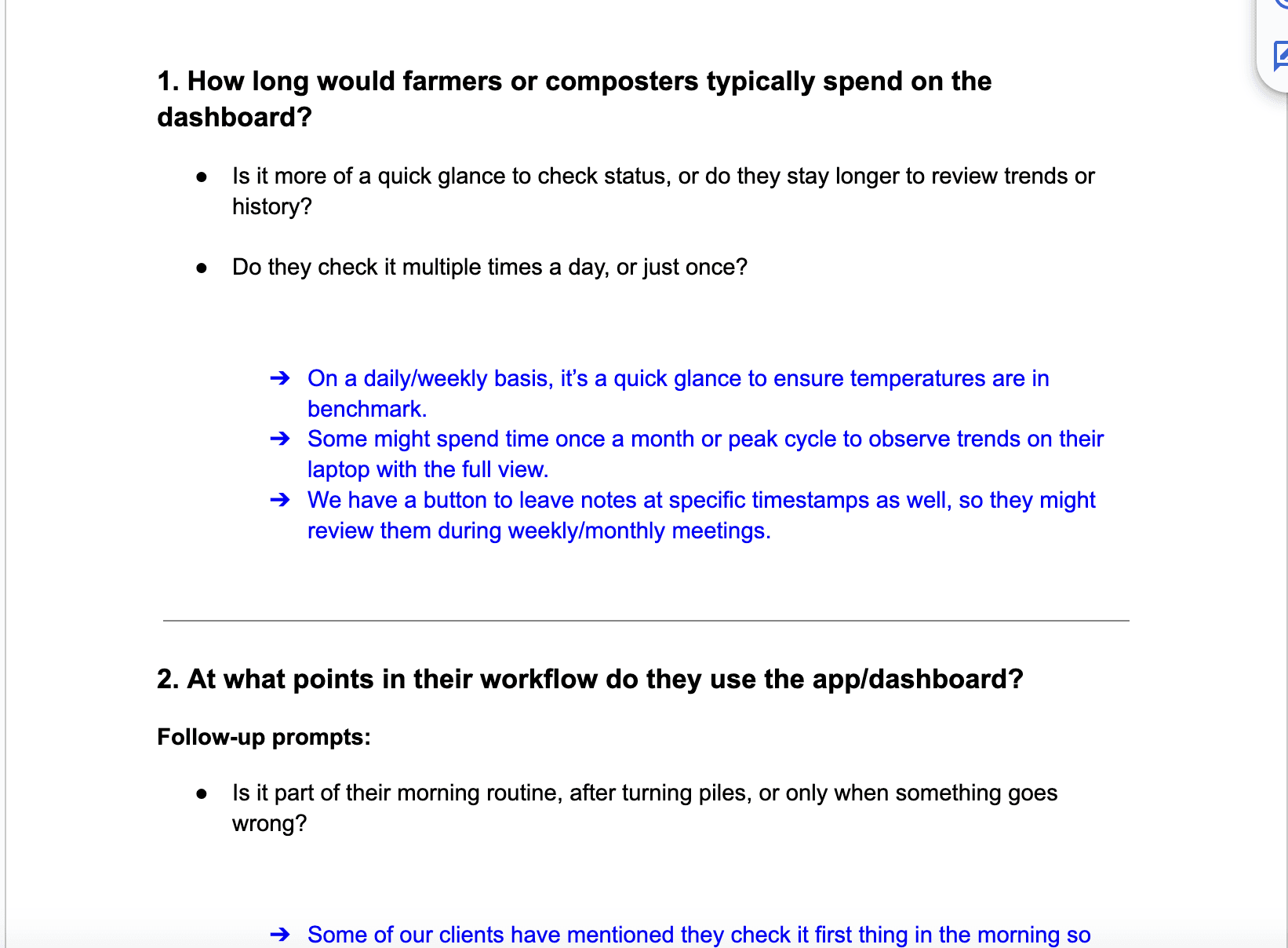
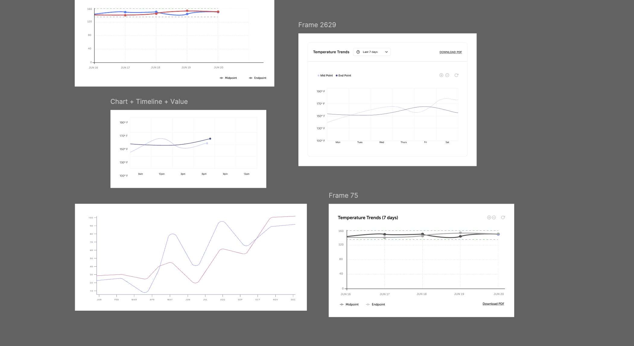
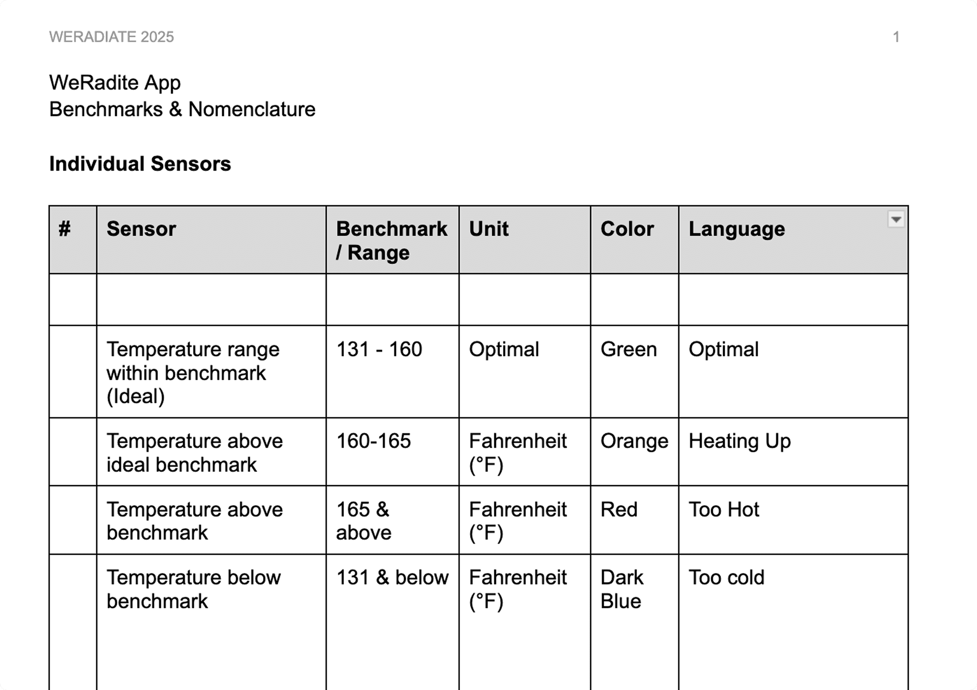
Benchmarking with Eng + Analysts to define tokens
Back to the top